

Continuing a 22-year downward trend, water levels in Lake Mead stand at their lowest since April 1937, when the reservoir was still being filled for the first time. As of July 18, 2022, Lake Mead was filled to just 27 percent of capacity.
The largest reservoir in the United States supplies water to millions of people across seven states, tribal lands, and northern Mexico. It now also provides a stark illustration of climate change and a long-term drought that may be the worst in the U.S. West in 12 centuries.
The low water level comes at time when 74 percent of nine Western states face some level of drought; 35 percent of the area is in extreme or exceptional drought. In Colorado, location of the headwaters of the Colorado River, 83 percent of the state is now in drought, and the snowpack from last winter was below average in many places.
The natural-color images above were acquired on July 6, 2000, and July 3, 2022, by Landsat 7 and Landsat 8. The detailed images below also include a view from Landsat 8 on July 8, 2021 (middle). The light-colored fringes along the shorelines in 2021 and 2022 are mineralized areas of the lakeshore that were formerly underwater when the reservoir was filled closer to capacity. The phenomenon is often referred to as a “bathtub ring.”


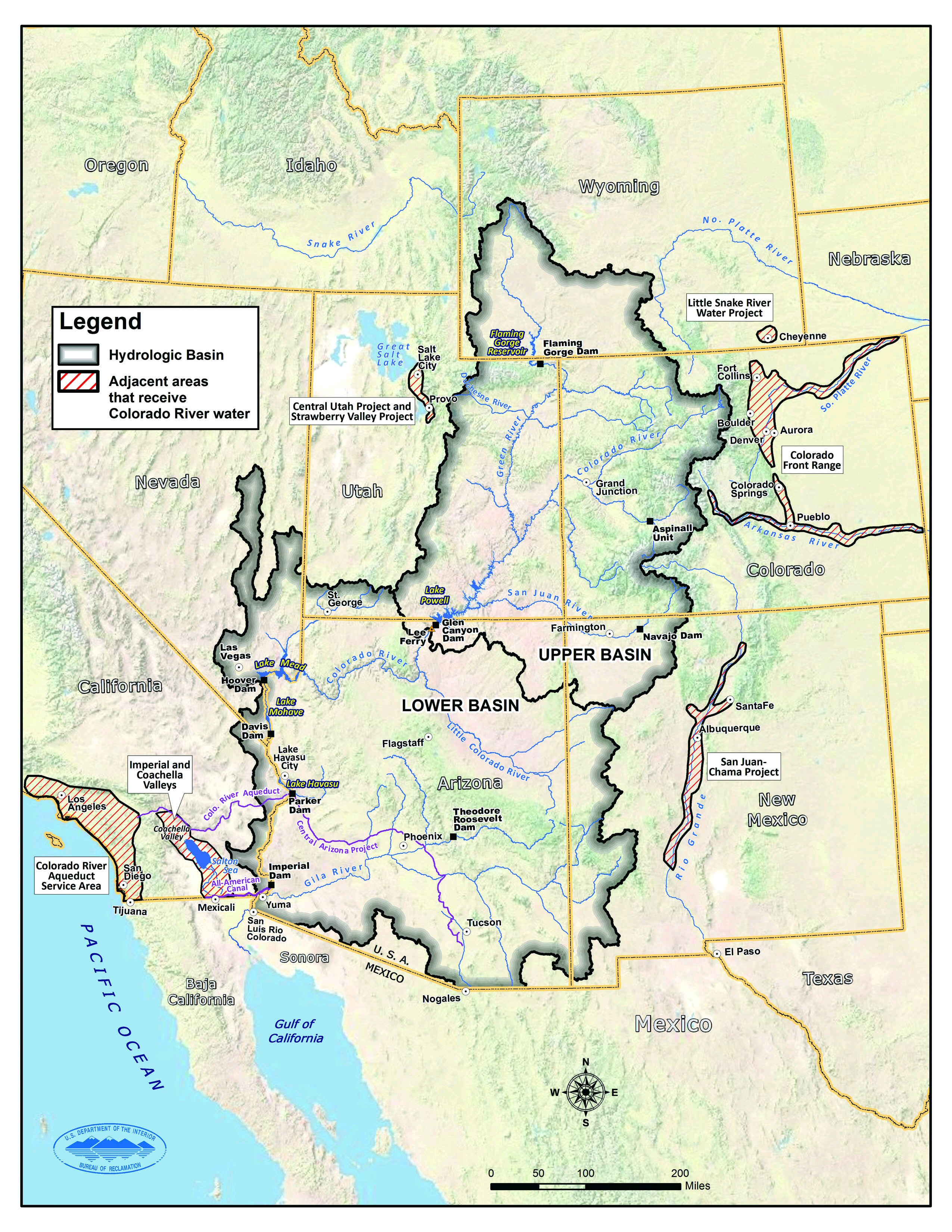
About 10 percent of the water in Lake Mead comes from local precipitation and groundwater each year, with the rest coming from snowmelt in the Rocky Mountains that flows down the Colorado River watershed through Lake Powell, Glen Canyon, and the Grand Canyon. The Colorado River basin is managed by USBR and other agencies to provide electric power and water to roughly 40 million people—most notably the cities of San Diego, Las Vegas, Phoenix, Los Angeles—and 4 to 5 million acres of farmland in the Southwest. The river water is allotted to states (including tribal lands) and Mexico through laws like the 1922 Colorado River Compact.
Above Lake Mead, Lake Powell is currently filled to just 27 percent of capacity, and the entire Colorado river system stands at 35 percent. USBR announced in August 2021 that state water allocations would be cut in 2022; further modeling and negotiation is underway for 2023 allocations. In June 2022, USBR issued an emergency request to the Colorado River basin states to reduce water usage by 2 million to 4 million acre-feet over the next 18 months.
In addition to serving as a major drinking and irrigation source for the Southwest, Lake Mead is a national recreation area that is particularly popular with boaters. According to the National Park Service, five of six boating ramps/launches are now closed. “Declining water levels due to climate change and 20 years of ongoing drought have reshaped the park’s shorelines,” the Park Service said on its website. “As Lake Mead continues to recede, extending launch ramps becomes more difficult and more expensive due to the topography and projected decline in water levels.”
NASA Earth Observatory images by Lauren Dauphin, using Landsat data from the U.S. Geological Survey and and lake elevation data from the Bureau of Reclamation. Story by Michael Carlowicz.
References & Resources
- Drought.gov (2019, February 12) Colorado River Drought Contingency Planning. Accessed July 20, 2022.
- CNN (2022, July 18) Lake Mead forecast: Southwest should brace for more water cuts from Colorado River. Accessed July 20, 2022.
- The Conversation (2022, May 12) What is dead pool? A water expert explains. Accessed July 20, 2022.
- Desert Research Institute (2022, April 6) New study shows robust increases in atmospheric thirst across much of U.S. during past 40 years. Accessed July 20, 2022.
- NASA Earth Observatory (2022, May 5) Taking Stock of Rocky Mountain Snowpack.
- NASA Earth Observatory (2019, October 18) Lake Mead by the Seasons.
- Reuters (2021, August 17) U.S. declares first Western reservoir water shortage, triggering cuts. Accessed July 20, 2022.
- U.S. Bureau of Reclamation (2021, August 16) Reclamation announces 2022 operating conditions for Lake Powell and Lake Mead. Accessed July 20, 2022.
- U.S. Bureau of Reclamation (2021, July 16) Reclamation’s July 24-Month Study implements contingency operations in the Upper Colorado River Basin. Accessed July 20, 2022.
- U.S. Drought Monitor (2021, August 26) West. Accessed July 20, 2022.
Discover more from Mesquitewateralliance.com
Subscribe to get the latest posts sent to your email.

